Bulbs
Flower Basics
Flower Beds & Specialty Gardens
Flower Garden
Garden Furniture
Garden Gnomes
Garden Seeds
Garden Sheds
Garden Statues
Garden Tools & Supplies
Gardening Basics
Green & Organic
Groundcovers & Vines
Growing Annuals
Growing Basil
Growing Beans
Growing Berries
Growing Blueberries
Growing Cactus
Growing Corn
Growing Cotton
Growing Edibles
Growing Flowers
Growing Garlic
Growing Grapes
Growing Grass
Growing Herbs
Growing Jasmine
Growing Mint
Growing Mushrooms
Orchids
Growing Peanuts
Growing Perennials
Growing Plants
Growing Rosemary
Growing Roses
Growing Strawberries
Growing Sunflowers
Growing Thyme
Growing Tomatoes
Growing Tulips
Growing Vegetables
Herb Basics
Herb Garden
Indoor Growing
Landscaping Basics
Landscaping Patios
Landscaping Plants
Landscaping Shrubs
Landscaping Trees
Landscaping Walks & Pathways
Lawn Basics
Lawn Maintenance
Lawn Mowers
Lawn Ornaments
Lawn Planting
Lawn Tools
Outdoor Growing
Overall Landscape Planning
Pests, Weeds & Problems
Plant Basics
Rock Garden
Rose Garden
Shrubs
Soil
Specialty Gardens
Trees
Vegetable Garden
Yard Maintenance
How to Find Land Plats for Your Area
How to Find Land Plats for Your Area. A land plat is a map that engineers, planning departments and zoning boards use for planning purposes. According to the Illinois State Library, the plat map system dates back to the late 1700s, and detailed local and state maps are archived by federal offices. They are drawn to scale and show how land parcels...

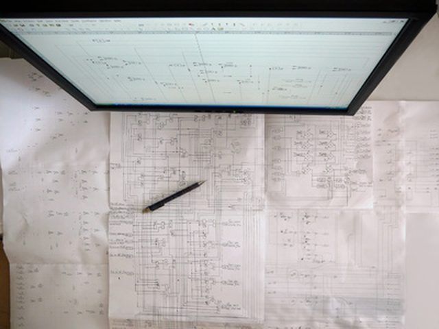
A land plat is a map that engineers, planning departments and zoning boards use for planning purposes. According to the Illinois State Library, the plat map system dates back to the late 1700s, and detailed local and state maps are archived by federal offices. They are drawn to scale and show how land parcels are separated and divided. The hard copies are usually available at the town/city hall and would cover an entire table. Municipal engineers are also likely to use the Geographic Information System (GIS) that would have digital plats in addition to other maps for pinpointing infrastructure and zoning designations. Some of these maps even may be available to the public online.
Visit the websites for your town and county and search the records or maps section for plats. Plat maps may be incorporated into the assessment listings.
Check out a variety of web sites that sell plat maps online. Make sure the maps are detailed and have markings for town boundaries and bodies of water.
Stop at the town or city hall of country office building and ask to see the plat map for the area you are interested in. There should be large, hard copies available and digitized maps. If the municipality has a GIS system, an employee can narrow in on the specific information you are looking for, ranging from shapes of lots in a subdivision to the actual locations of manholes.