Bulbs
Flower Basics
Flower Beds & Specialty Gardens
Flower Garden
Garden Furniture
Garden Gnomes
Garden Seeds
Garden Sheds
Garden Statues
Garden Tools & Supplies
Gardening Basics
Green & Organic
Groundcovers & Vines
Growing Annuals
Growing Basil
Growing Beans
Growing Berries
Growing Blueberries
Growing Cactus
Growing Corn
Growing Cotton
Growing Edibles
Growing Flowers
Growing Garlic
Growing Grapes
Growing Grass
Growing Herbs
Growing Jasmine
Growing Mint
Growing Mushrooms
Orchids
Growing Peanuts
Growing Perennials
Growing Plants
Growing Rosemary
Growing Roses
Growing Strawberries
Growing Sunflowers
Growing Thyme
Growing Tomatoes
Growing Tulips
Growing Vegetables
Herb Basics
Herb Garden
Indoor Growing
Landscaping Basics
Landscaping Patios
Landscaping Plants
Landscaping Shrubs
Landscaping Trees
Landscaping Walks & Pathways
Lawn Basics
Lawn Maintenance
Lawn Mowers
Lawn Ornaments
Lawn Planting
Lawn Tools
Outdoor Growing
Overall Landscape Planning
Pests, Weeds & Problems
Plant Basics
Rock Garden
Rose Garden
Shrubs
Soil
Specialty Gardens
Trees
Vegetable Garden
Yard Maintenance
Types of Soil Survey
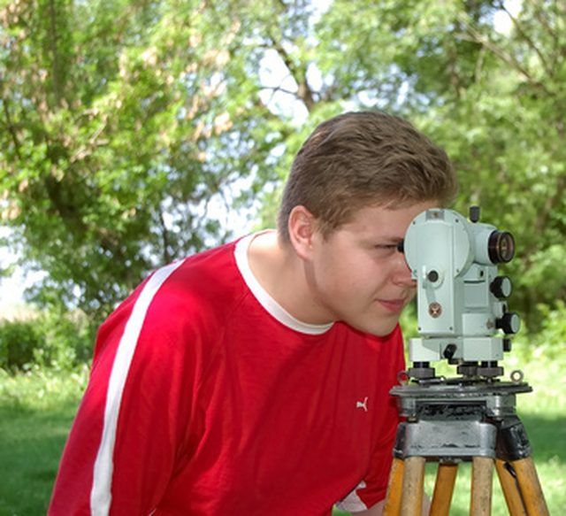
Types of Soil Survey. Soil surveys are a county by county assessment of soil taxonomy, fertility and use on any given acre of land. It is a resource available to several different industries such as farming, forestry and mining. The data achieved for soil mapping is done by several different types of surveys.

Soil surveys are a county by county assessment of soil taxonomy, fertility and use on any given acre of land. It is a resource available to several different industries such as farming, forestry and mining. The data achieved for soil mapping is done by several different types of surveys.
Digital Mapping
Digital mapping uses geographic information systems (GIS) to increase the accuracy of land maps. GIS helps take into consideration topography, vegetation and soil types to better determine soil and land use relationships.
Pedometrics
Pedometrics uses qualitative methods for mapping soil. According to the University of Twente in the Netherlands, pedometrics makes soil survey, classification and land evaluation as factual as possible.
Geo-statistics
Geo-statistics uses statistics to explore and model soils through spatial data for soil mapping. It implies the use of mathematical calculations of GIS data in interpreting geological observations.
Sensors
Sensors are a common approach in surveying soil. It is a technological technique using infrared spectrometry to scan and map soil.
Laboratory Methods
Using laboratory methods to analyze soils for mapping is useful in determining fertility and soil profiles. Changes in soil chemistry over time can also provide information on relationships between land use and soil.